We (8/27/2015) will drive the Cabot Trail
counterclockwise around Cape Breton.
Beginning
at our hotel in Baddeck on route-105 we begin to see why this is a popular road
trip.
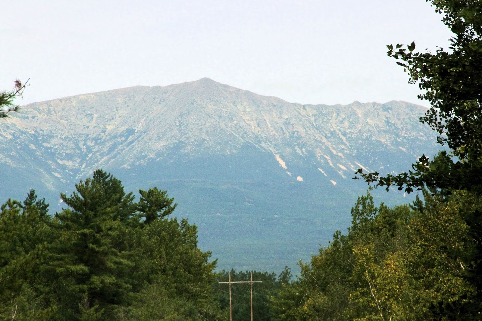
The scenery is very nice.
Getting off route-105 we begin the road marked as the Cabot
Trail, passing the Gaelic College of Arts and Crafts.
(There is also a Gaelic Trail in Nova
Scotia.)
Driving along the coast of Murray Bay near
the town of Murray we continue with some very nice views.
From atop Smokey Mountain in Cape Smokey Provincial Park,
looking south, you can see the road we have traveled so far.
A little hazy, but a good indication of the 725 foot climb in 1.3 miles
we did to get here.
Looking out over the sea I continue to look for whales.
Haven't seen any yet.
We take a detour to check out the Keltic Lodge (yes, spelt
that way) on Middle Head.
Here looking
back on one of the many coves along this section of Middle Head.
There are a number of trails to hike on Middle Head, we
hiked none of them as they were long (distance and time wise) and we did not want to take up much
time.
But I did take a few minutes to
sit and look out over the sea on these chairs.
Ah, relaxing to the sounds of the waves crashing on the rocks below.
More of the coastal views as we look south from the Cabot
Trail. There are some great views along the road on the Cabot Trail.
We stopped at Lakies Head for a short stop to take some pictures.
Looking south you can see how rocky the coast
is along this section of Cape Breton.
Looking north we still have great views of the rocky
coast.
Much of the coast line in the upper east portion of the
Cabot Trail is rocky, much as I had hoped. And, Carmen and I are suckers for taking pictures of rocky coasts where the waves crash into a high spray. We could spend hours here, but time and distance are not on our side today.
Coming into Neils Harbour we stopped to see the rocky coast
line.
While there we watched as waves
broke against the 20 foot cliff walls.
As you can see, some of the water spouts are even higher than the rock
walls.
Neils Harbour lighthouse.
I saw these lobster traps by an old barn with the grass
growing out of them.
Looks like the
traps have not been used for some time.
Another group of traps.
We get off the Cabot Trail in Cape North and head to Bay St
Lawrence and Meat Cove, but not without first taking some pictures of flowers while we stop for a lunch break.
In Bay St. Lawrence on Deadmans Pond and the sea. Here at the end of the wharf you can see the road traveling to Meat
Cove along the cliff.
Looking east from Bay St. Lawrence and towards Money Point.
Leaving Bay St. Lawrence we turn northwest on Meat Cove Rd
and head to Meat Cove.
At our
destination is a camp ground, no electricity, no sewer, etc.
Mostly tent sites, but there are also some
small RV sites.
Here is the view looking
north from one of the Meat Cove campground sites.
Looking south from Meat Cove you can see Black Point in the
distance.
Carmen and I standing at Meat Cove Campground
looking out over the sea towards Black Point.
As we head back to the Cabot Trail we get our last look back
towards Meat Cove; the most northern community in Nova Scotia.
Back on the Cabot Trail we drive west from the east coast of
Nova Scotia across Cape Breton to the west coast.
At a high spot of the land during our drive
west, we got a quick picture of the scenery.
On the west side of the Cabot Trail we see the sea and land,
not as rocky as the east side and the road we just came across, the north end of Cape Breton.
Here is the Cabot Trail as seen when looking at advertisement pictures of
Cape Breton. Only our picture isn't in the best of light as it was a cloudy day. Still pretty nice view.
Carmen and I on Cape Breton with the Cabot Trail in the
background.
Looking north the Cabot Trail snakes along the coast. This is a fairly good road to drive. I can see why this section of the road is used in motorcycle advertisements.
On Cape Breton we have not seen many beaches but here was one
that actually looked like it had sand and not stones.
We are getting close to the end of the Cape Breton Highlands
Park and we can see this view.
As we head into Cheticamp, it begins to sprinkle.
We continued past intending to get further along the drive, but it is getting late and raining so we decide
to call it a night and get a room.
So, back to Cheticamp where we got a room, actually one of the last rooms, for the night. Tomorrow we continue our drive following the Cabot Trail.
 Carmen has never been to Houlton or even in Aroostook County,
so this morning (8/29/2015) we decided that we would pass back into the United
States by way of Houlton, Maine. Here,
just outside of Fredericton, we had a view of the St. John River.
Carmen has never been to Houlton or even in Aroostook County,
so this morning (8/29/2015) we decided that we would pass back into the United
States by way of Houlton, Maine. Here,
just outside of Fredericton, we had a view of the St. John River.